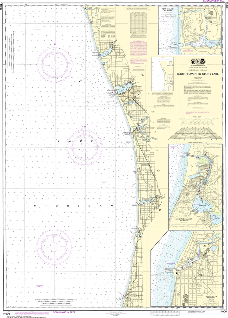
NOAA Chart 14906: South Haven to Stony Lake, South Haven, Port Sheldon, Saugatuck Harbor
$23.75
THIS CHART IS CURRENTLY CANCELED BY NOAA. We know there are many questions about NOAA charts, newest editions and charts being cancelled. The U.S. Office of Coast Survey provides an updated list of all chart updates and the ones being...
NOAA Chart 14910: Lower Green Bay - Oconto Harbor, Algoma
$23.75
The chart you are viewing is NOT updated weekly and does NOT include all of the latest Notice to Mariners corrections. Region: Great Lakes Latest Edition: 25 Ed. (1-Nov-2018) Last Correction: 15-Aug-2019 Cleared Through: NTM 47/2019...
NOAA Chart 14911: Waugoshance Point to Seul Choix Point, including Beaver Island Group, Port Inland, Beaver Harbor
$23.75
The chart you are viewing is NOT updated weekly and does NOT include all of the latest Notice to Mariners corrections. Region: Great Lakes Latest Edition: 22 Ed. (1-Feb-2016) Last Correction: 1-Oct-2019 Cleared Through: NTM 47/2019...
The chart you are viewing is NOT updated weekly and does NOT include all of the latest Notice to Mariners corrections. Region: Great Lakes Latest Edition: 26 Ed. (1-Mar-2014) Last Correction: 30-Nov-2018 Cleared Through: NTM 47/2019...
NOAA Chart 14918: Head of Green Bay, including Fox River below De Pere; Green Bay
$23.75
The chart you are viewing is NOT updated weekly and does NOT include all of the latest Notice to Mariners corrections. Region: Great Lakes Latest Edition: 28 Ed. (1-Dec-2015) Last Correction: 5-Aug-2019 Cleared Through: NTM 47/2019...
NOAA Chart 14919: Sturgeon Bay and Canal, Sturgeon Bay
$23.75
The chart you are viewing is NOT updated weekly and does NOT include all of the latest Notice to Mariners corrections. Region: Great Lakes Latest Edition: 29 Ed. (1-Dec-2015) Last Correction: 15-Aug-2019 Cleared Through: NTM 47/2019...
The chart you are viewing is NOT updated weekly and does NOT include all of the latest Notice to Mariners corrections. Region: Great Lakes Latest Edition: 21 Ed. (1-May-2016) Last Correction: 9-Oct-2019 Cleared Through: NTM...
The chart you are viewing is NOT updated weekly and does NOT include all of the latest Notice to Mariners corrections. Region: Great Lakes Latest Edition: 29 Ed. (1-Dec-2012) Last Correction: 23-Apr-2019 Cleared Through: NTM 47/2019...
The chart you are viewing is NOT updated weekly and does NOT include all of the latest Notice to Mariners corrections. Region: Great Lakes Latest Edition: 26 Ed. (1-Dec-2016) Last Correction: 5-Sep-2019 Cleared Through: NTM 47/2019...
The chart you are viewing is NOT updated weekly and does NOT include all of the latest Notice to Mariners corrections. Region: Great Lakes Latest Edition: 23 Ed. (1-Sep-2011) Last Correction: 17-Sep-2019 Cleared Through: NTM 47/2019...
NOAA Chart 14933: Grand Haven, including Spring Lake and Lower Grand River
$23.75
The chart you are viewing is NOT updated weekly and does NOT include all of the latest Notice to Mariners corrections. Region: Great Lakes Latest Edition: 25 Ed. (1-Sep-2013) Last Correction: 6-May-2019 Cleared Through: NTM 47/2019...
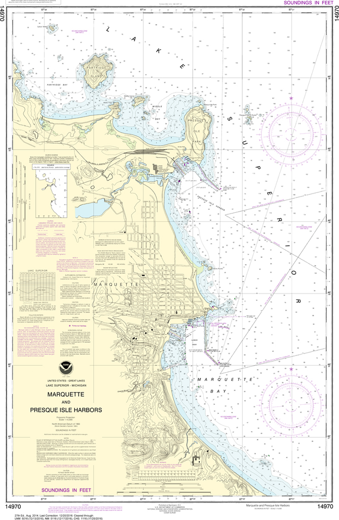
NOAA Chart 14970: Marquette and Presque Isle Harbors
$23.75
The chart you are viewing is NOT updated weekly and does NOT include all of the latest Notice to Mariners corrections. Region: Great Lakes Latest Edition: 27 Ed. (1-Aug-2014) Last Correction: 10-Apr-2019 Cleared Through: NTM 47/2019...
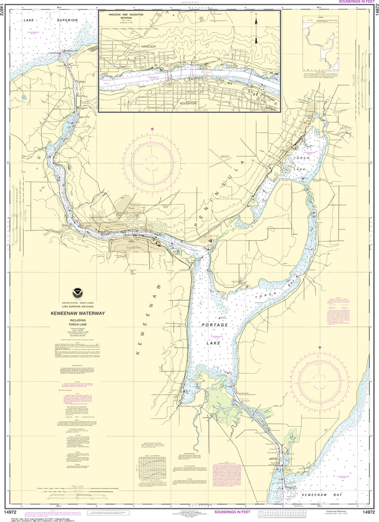
NOAA Chart 14972: Keweenaw Waterway, including Torch Lake, Hancock and Houghton
$23.75
The chart you are viewing is NOT updated weekly and does NOT include all of the latest Notice to Mariners corrections. Region: Great Lakes Latest Edition: 27 Ed. (1-Dec-2013) Last Correction: 1-Aug-2019 Cleared Through: NTM 47/2019...
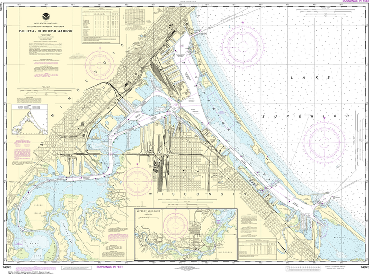
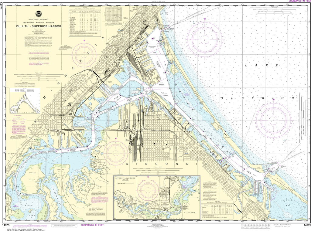
NOAA Chart 14975: Duluth - Superior Harbor, Upper St. Louis River
$23.75
The chart you are viewing is NOT updated weekly and does NOT include all of the latest Notice to Mariners corrections. Region: Great Lakes Latest Edition: 36 Ed. (1-Oct-2014) Last Correction: 29-Nov-2019 Cleared Through: NTM 47/2019...
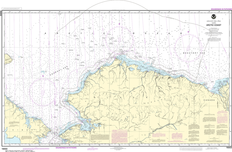
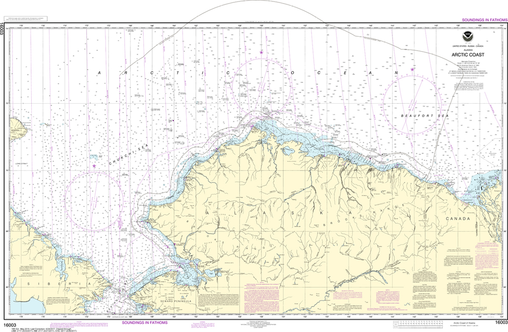
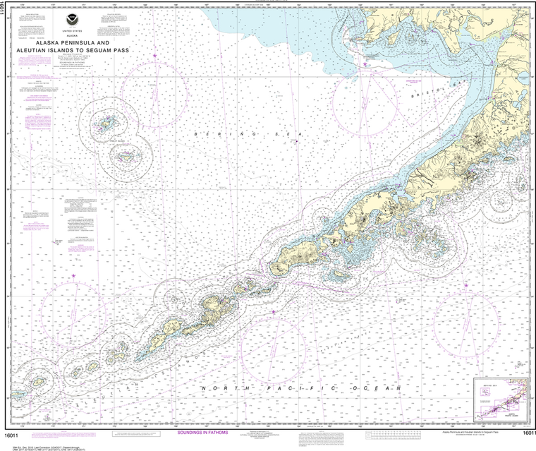
Region: Alaska Coast Paper Size: 48" x 36" Chart Image Size: 29" x 44" Scale: 1:1,587,870 Captain's Nautical Supplies is a Print-on-Demand nautical chart dealer for US Waters. All charts are printed up-to-date and corrected to...
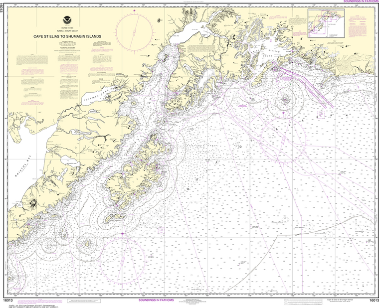
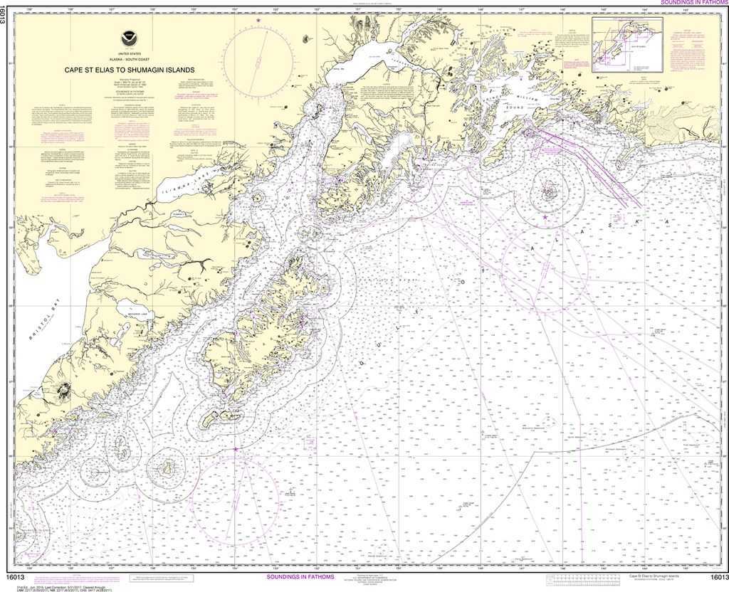
NOAA Chart 16013: Cape St. Elias to Shumagin Islands, Semidi Islands
$23.75
The chart you are viewing is NOT updated weekly and does NOT include all the of the latest Notice to Mariners corrections. Region: Alaska Coast Paper Size: 46" x 36" Chart Image Size: 35" x 43" Scale: 1:969,761 ...
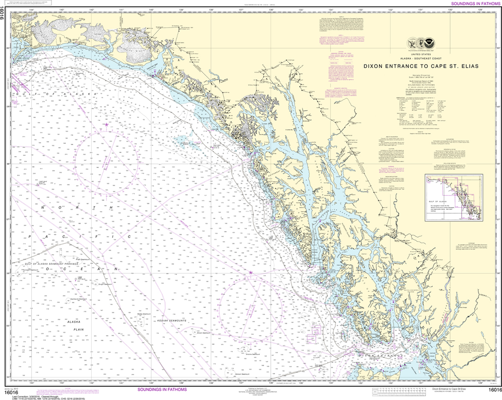
NOAA Chart 16016: Dixon Entrance to Cape St. Elias
$23.75
The chart you are viewing is NOT updated weekly and does NOT include all the of the latest Notice to Mariners corrections.
Region: Alaska Coast Paper Size: 44" x 36" Chart Image Size: 32" x 40" Scale: 1:969,756
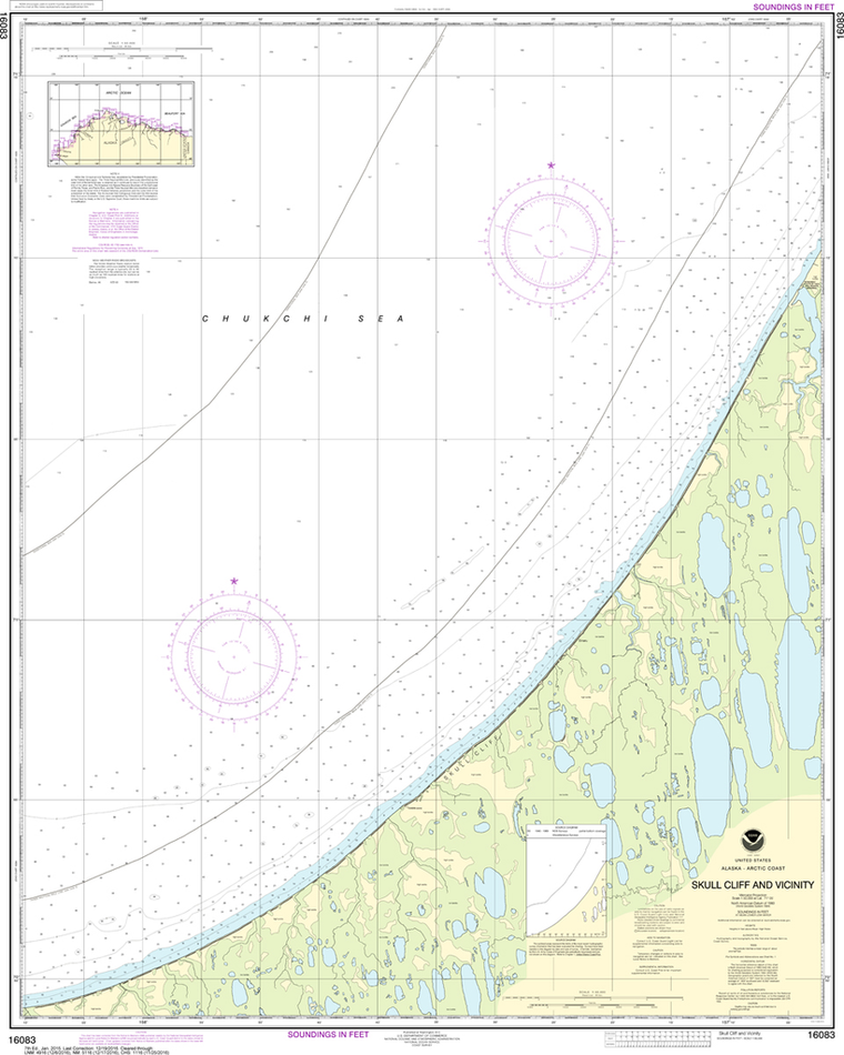
The chart you are viewing is NOT updates weekly and does NOT include all of the latest Notice to Mariners corrections. Region: Alaska Coast Latest Edition: 7 Ed. (1-Jan-2015) Last Correction: 19-Dec-2016 Cleared Through: NTM 47/2019...