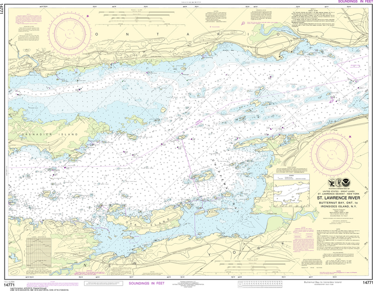
NOAA Chart 14771: Butternut Bay, Ont, to Ironsides lsland, NY
$23.75
The chart you are viewing is NOT updated weekly and does NOT include all of the latest Notice to Mariners corrections. Region: Great Lakes Latest Edition: 17 Ed. (1-May-2004) Last Correction: 25-Apr-2016 Cleared Through: NTM 47/2019...
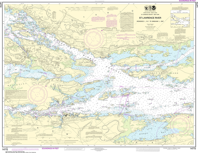
NOAA Chart 14772: Ironsides lsland, NY, to Bingham lsland, Ont
$23.75
The chart you are viewing is NOT updated weekly and does NOT include all of the latest Notice to Mariners corrections. Region: Great Lakes Paper Size: 40" x 36" Chart Image Size: 28" x 37" Scale:...
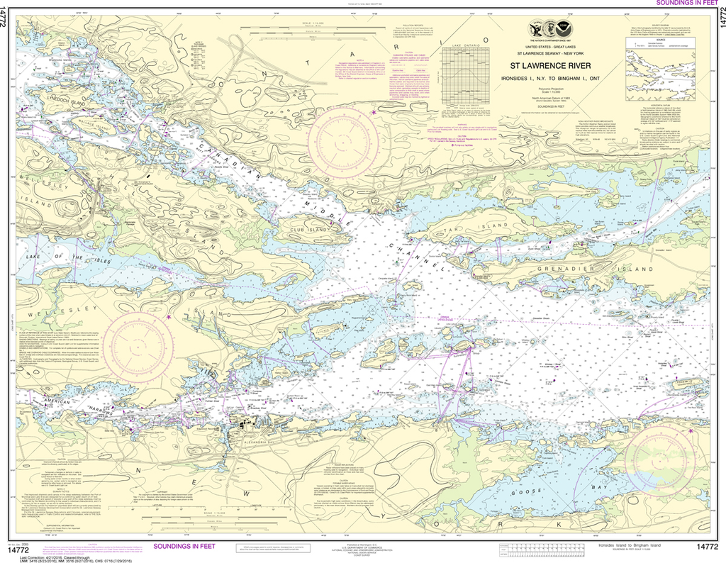
NOAA Chart 14773: Gananoque, Ont to St. Lawrence Park NY
$23.75
The chart you are viewing is NOT updated weekly and does NOT include all of the latest Notice to Mariners corrections. Region: Great Lakes Latest Edition: 17 Ed. (1-Sep-2004) Last Correction: 21-Apr-2016 Cleared Through: NTM 47/2019 (23-Nov-2019)...
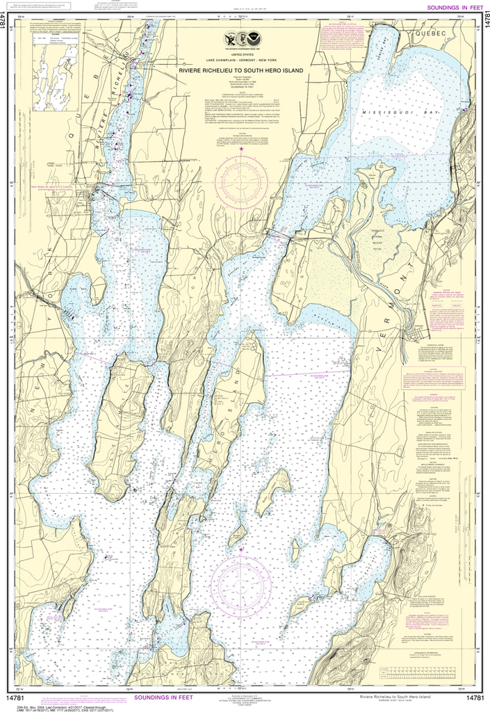
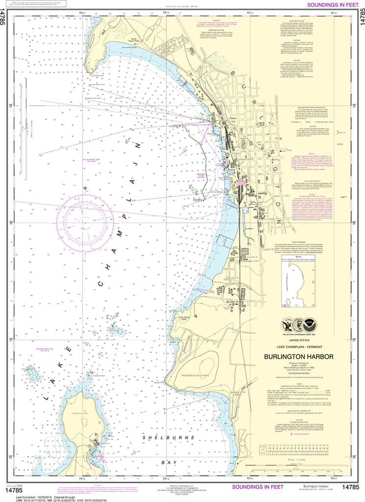
NOAA Chart 14781: Riviere Richelieu to South Hero Island
$23.75
THIS CHART IS CURRENTLY CANCELED BY NOAA. We know there are many questions about NOAA charts, newest editions and charts being cancelled. The U.S. Office of Coast Survey provides an updated list of all chart updates and the ones being...
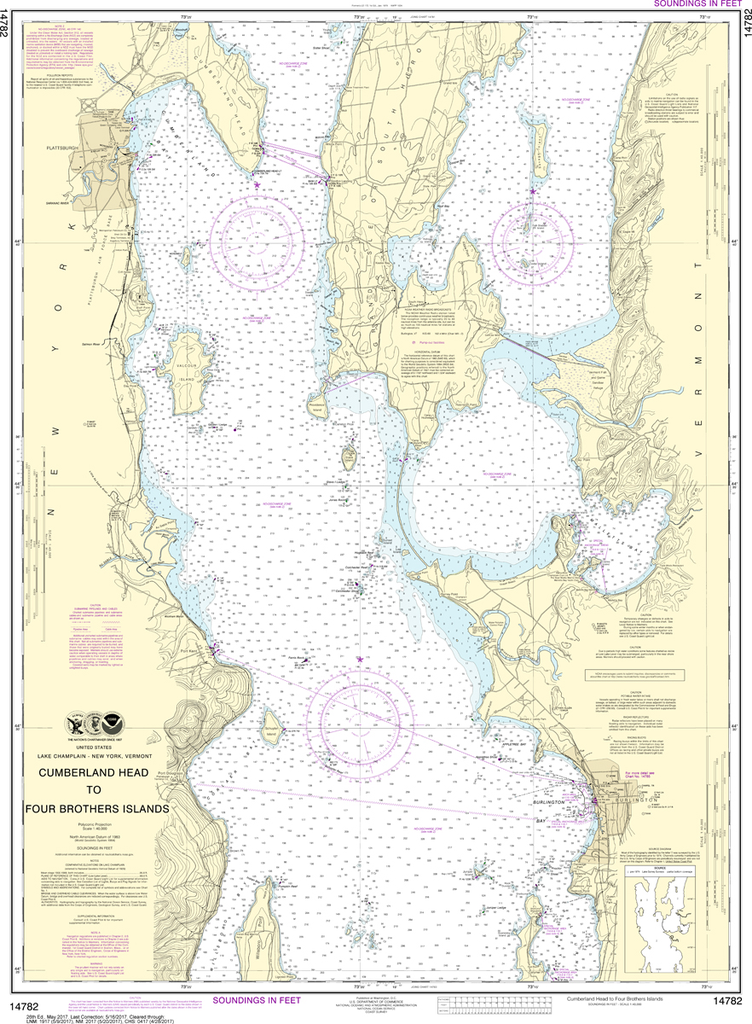
NOAA Chart 14782: Cumberland Head to Four Brothers Islands
$23.75
THIS CHART IS CURRENTLY CANCELED BY NOAA. We know there are many questions about NOAA charts, newest editions and charts being cancelled. The U.S. Office of Coast Survey provides an updated list of all chart updates and the ones being...
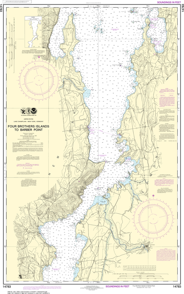
NOAA Chart 14783: Four Brothers Islands to Barber Point
$23.75
THIS CHART IS CURRENTLY CANCELED BY NOAA. We know there are many questions about NOAA charts, newest editions and charts being cancelled. The U.S. Office of Coast Survey provides an updated list of all chart updates and the ones being...
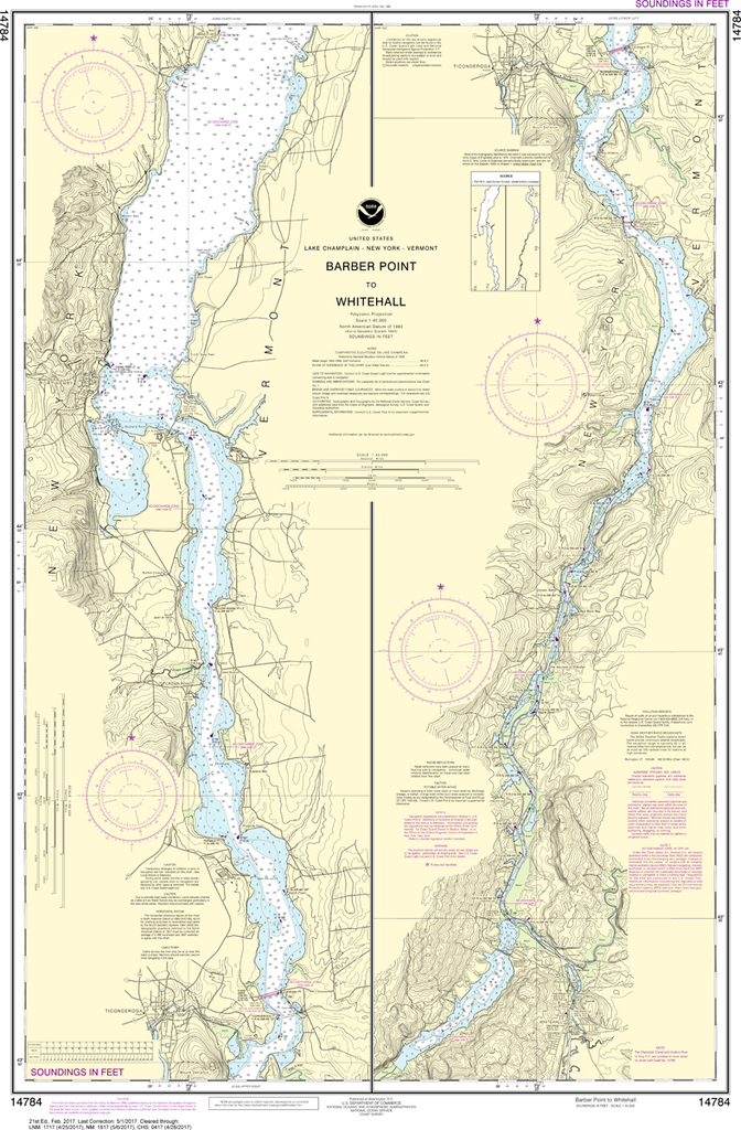
THIS CHART IS CURRENTLY CANCELED BY NOAA. We know there are many questions about NOAA charts, newest editions and charts being cancelled. The U.S. Office of Coast Survey provides an updated list of all chart updates and the ones being...
THIS CHART IS CURRENTLY CANCELED BY NOAA. We know there are many questions about NOAA charts, newest editions and charts being cancelled. The U.S. Office of Coast Survey provides an updated list of all chart updates and the ones being...
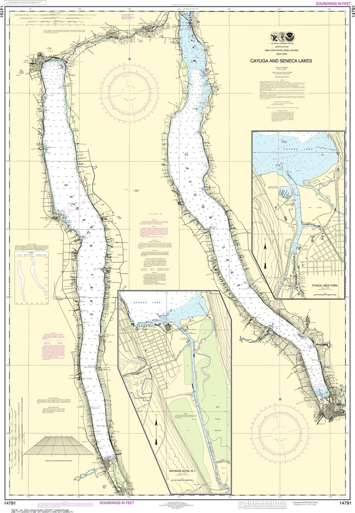
NOAA Chart 14791: Cayuga and Seneca Lakes, Watkins Glen, Ithaca
$23.75
The chart you are viewing is NOT updated weekly and does NOT include all of the latest Notice to Mariners corrections. Region: Great Lakes Latest Edition: 19 Ed. (1-Jun-2016) Last Correction: 30-Dec-2019 Cleared Through: NTM 47/2019 (23-Nov-2019)...
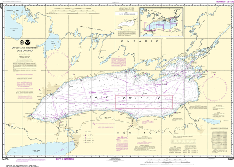
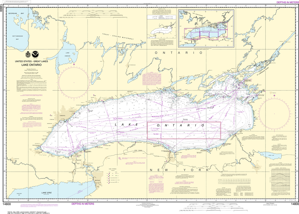
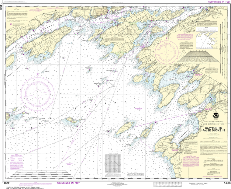
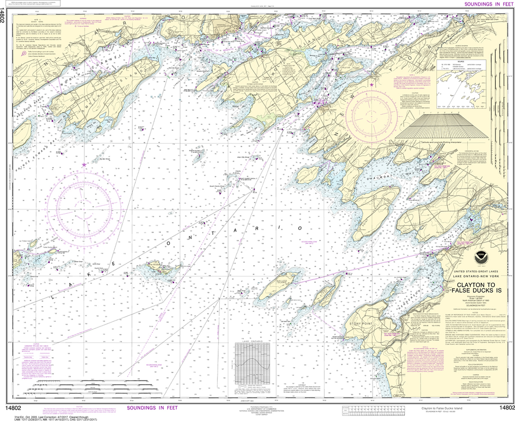
The chart you are viewing is NOT updated weekly and does NOT include all of the latest Notice to Mariners corrections. Region: Great Lakes Latest Edition: 31 Ed. (1-Oct-2005) Last Correction: 2-Jan-2020 Cleared Through: NTM 47/2019...
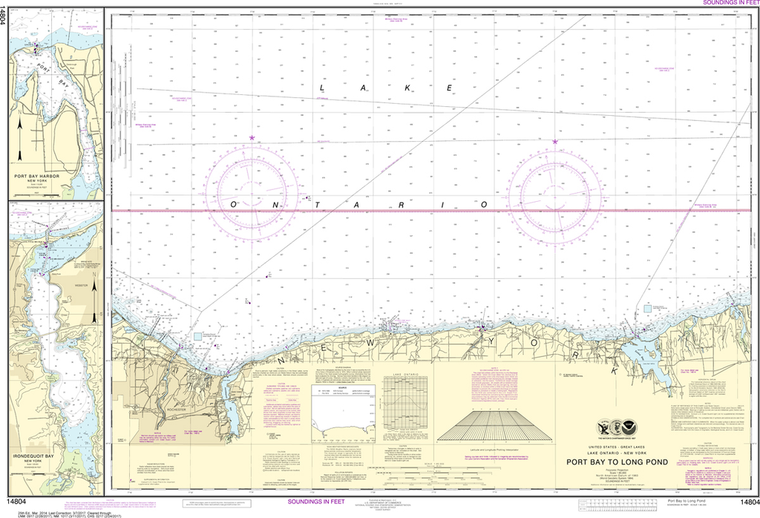
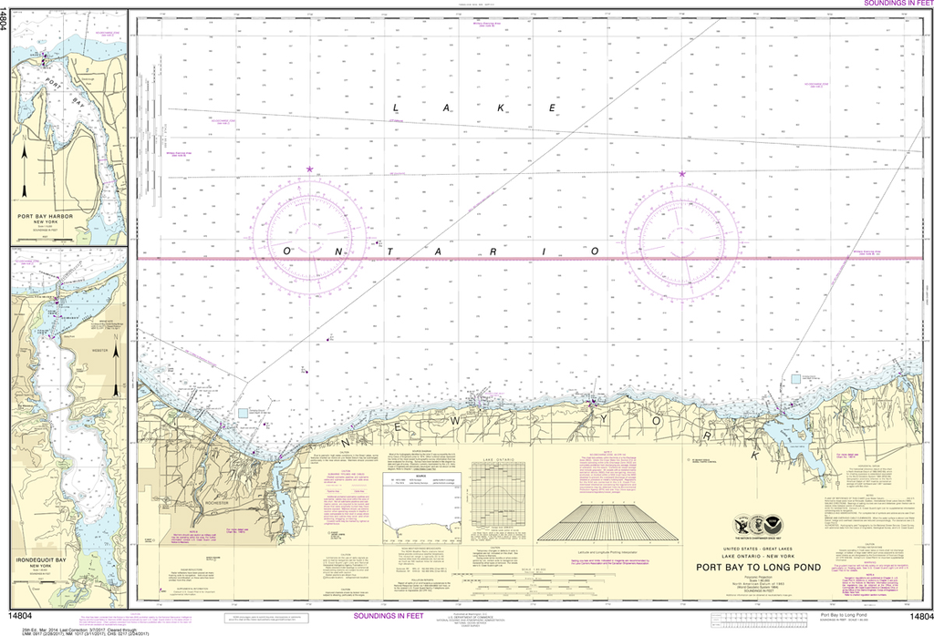
NOAA Chart 14804: Port Bay to Long Pond, Port Bay Harbor, Irondequoit Bay
$23.75
The chart you are viewing is NOT updated weekly and does NOT include all of the latest Notice to Mariners corrections. Region: Great Lakes Latest Edition: 25 Ed. (1-Mar-2014) Last Correction: 30-May-2019 Cleared Through: NTM...
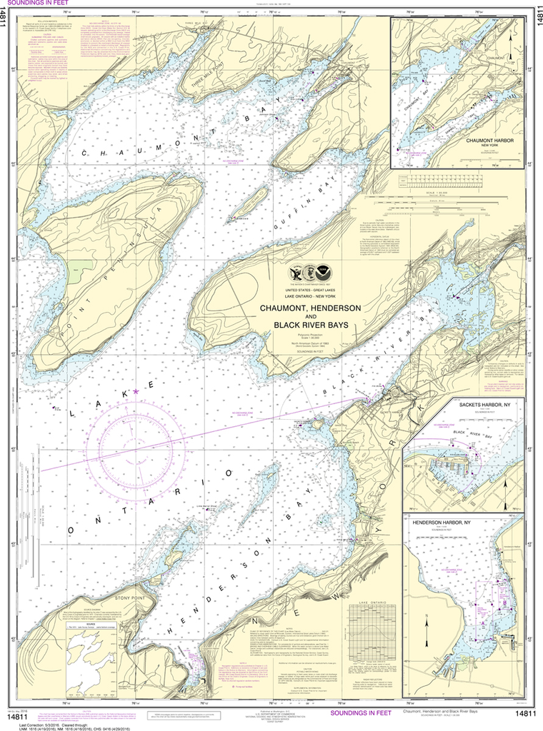
NOAA Chart 14811: Chaumont, Henderson and Black River Bays; Sackets Harbor; Henderson Harbor; Chaumont Harbor
$23.75
The chart you are viewing is NOT updated weekly and does NOT include all of the latest Notice to Mariners corrections. Region: Great Lakes Latest Edition: 18 Ed. (1-May-2016) Last Correction: 3-Dec-2018 Cleared Through: NTM 47/2019...
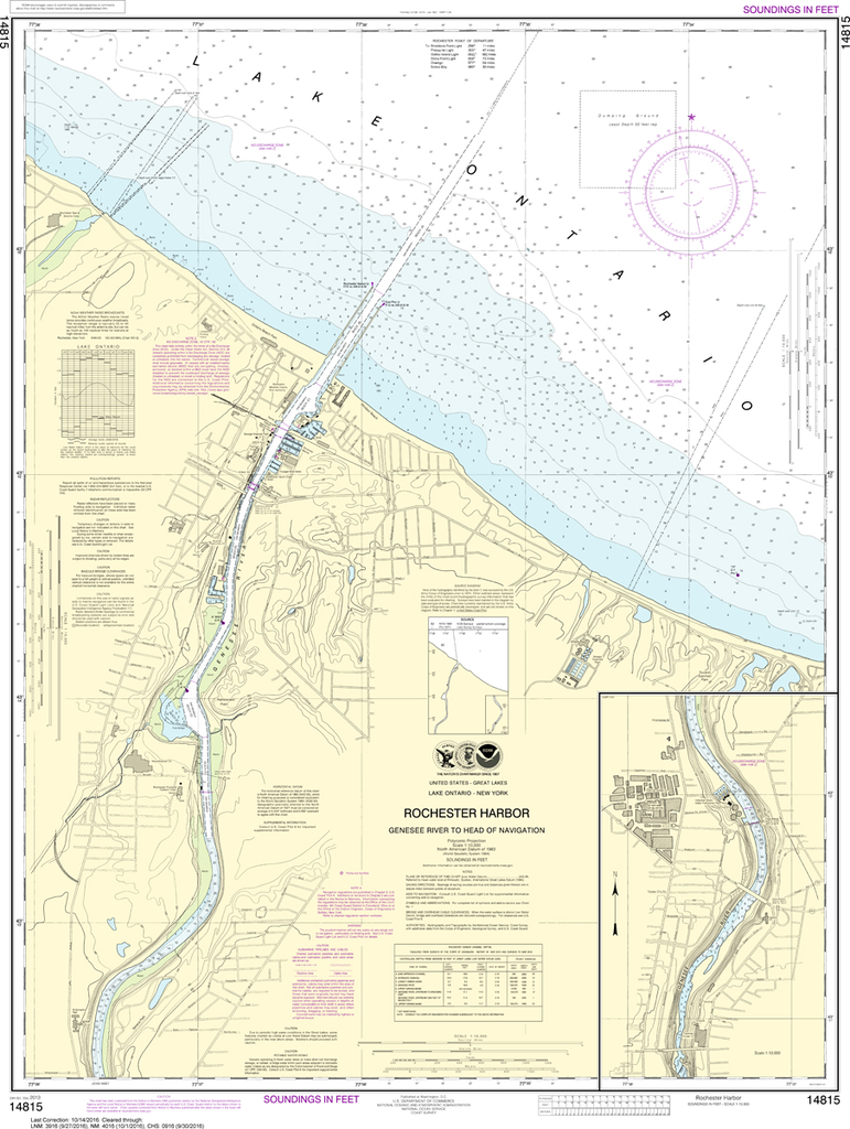
NOAA Chart 14815: Rochester Harbor, including Genessee River to head of navigation
$23.75
The chart you are viewing is NOT updated weekly and does NOT include all of the latest Notice to Mariners corrections. Region: Great Lakes Latest Edition: 24 Ed. (1-Dec-2013) Last Correction: 3-Dec-2018 Cleared Through: NTM 47/2019...
The chart you are viewing is NOT updated weekly and does NOT include all of the latest Notice to Mariners corrections. Region: Great Lakes Latest Edition: 24 Ed. (1-Feb-2004) Last Correction: 5-Jul-2017 Cleared Through: NTM 47/2019...
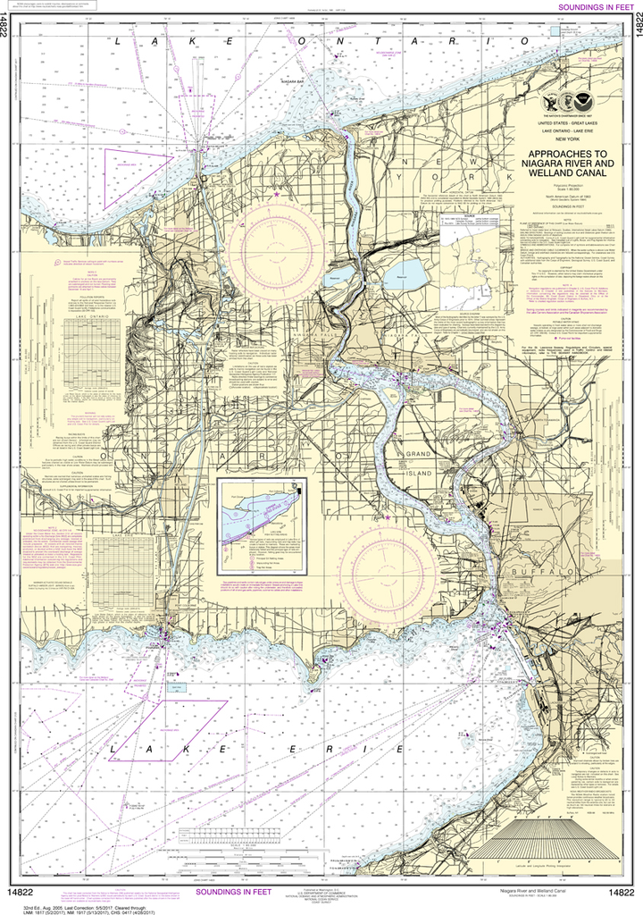
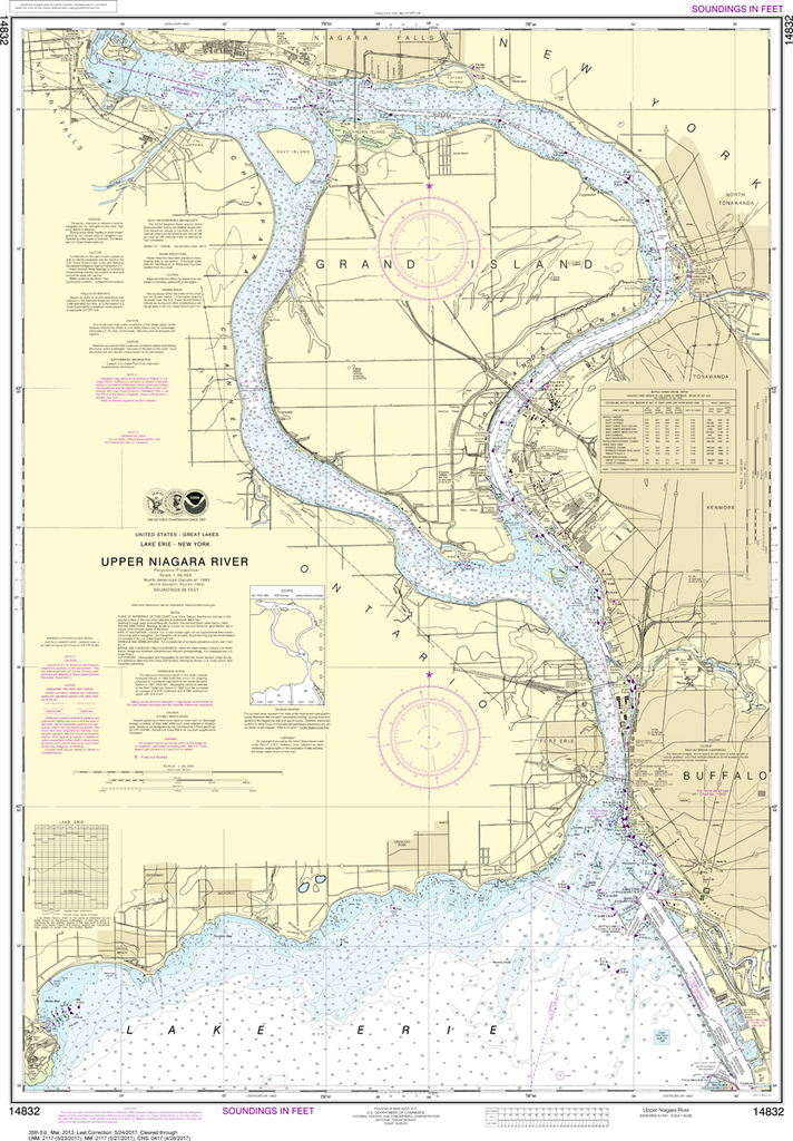
NOAA Chart 14822: Approaches to Niagara River and Welland Canal
$23.75
The chart you are viewing is NOT updated weekly and does NOT include all of the latest Notice to Mariners corrections. Region: Great Lakes Latest Edition: 32 Ed. (1-Aug-2005) Last Correction: 30-Oct-2018 Cleared Through: NTM 47/2019...
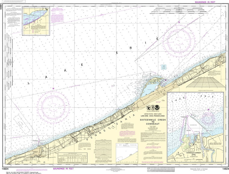
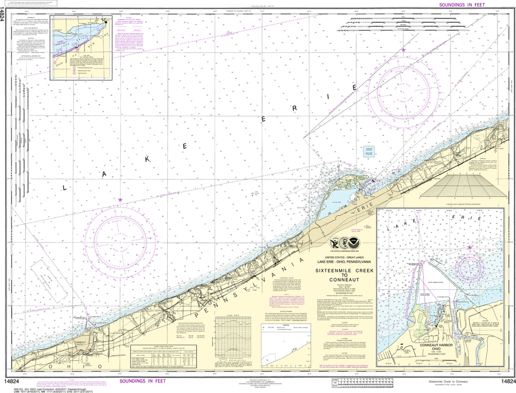
NOAA Chart 14824: Sixteenmile Creek to Conneaut, Conneaut Harbor
$23.75
The chart you are viewing is NOT updated weekly and does NOT include all of the latest Notice to Mariners corrections. Region: Great Lakes Latest Edition: 26 Ed. (1-Oct-2003) Last Correction: 30-May-2019 Cleared Through: NTM 47/2019...
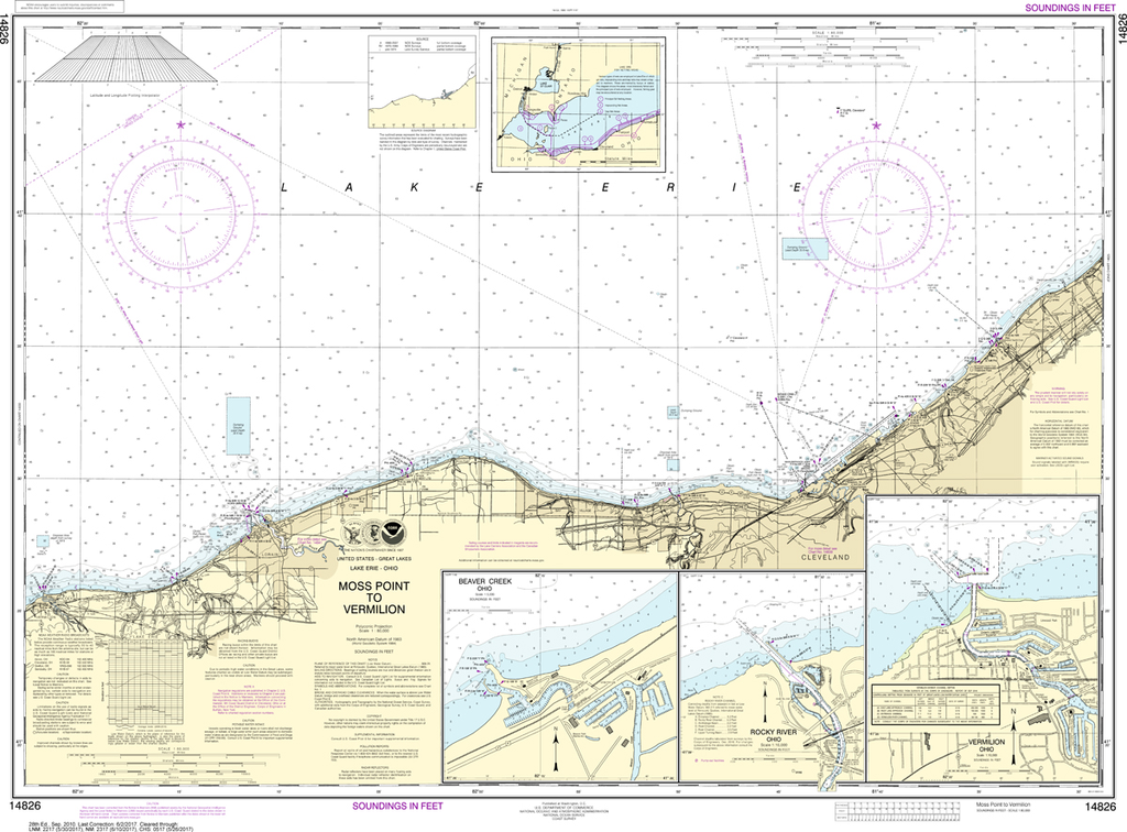
NOAA Chart 14826: Moss Point to Vermilion, Beaver Creek, Vermilion Harbor, Rocky River
$23.75
The chart you are viewing is NOT updated weekly and does NOT include all of the latest Notice to Mariners corrections. Region: Great Lakes Latest Edition: 28 Ed. (1-Sep-2010) Last Correction: 29-Nov-2019 Cleared Through: NTM 47/2019...
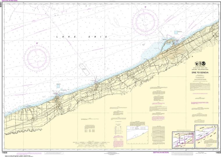
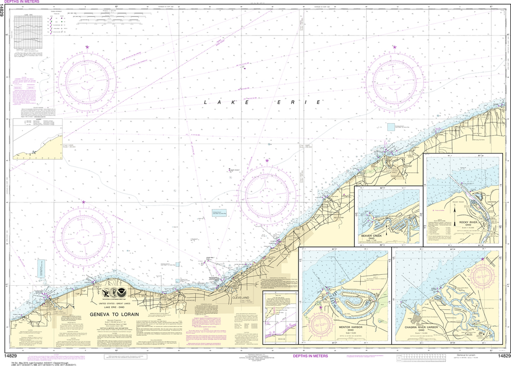
NOAA Chart 14829: Geneva to Lorain, Beaver Creek, Rocky River, Mentor Harbor, Chagrin River
$23.75
THIS CHART IS CURRENTLY CANCELED BY NOAA. We know there are many questions about NOAA charts, newest editions and charts being cancelled. The U.S. Office of Coast Survey provides an updated list of all chart updates and the ones being...
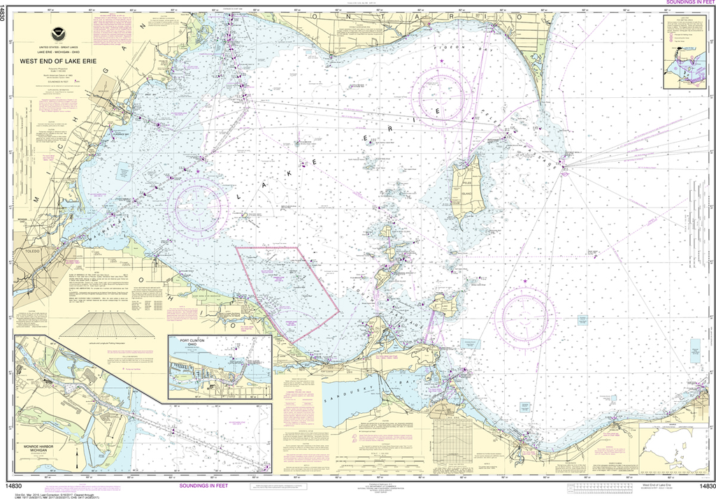
NOAA Chart 14830: West End of Lake Erie - Port Clinton Harbor, Monroe Harbor, Lorain to Detroit River, Vermilion
$23.75
The chart you are viewing is NOT updated weekly and does NOT include all of the latest Notice to Mariners corrections. Region: Great Lakes Latest Edition: 34 Ed. (1-Feb-2019) Last Correction: 18-Jul-2019 Cleared Through: NTM 47/2019 (23-Nov-2019)...
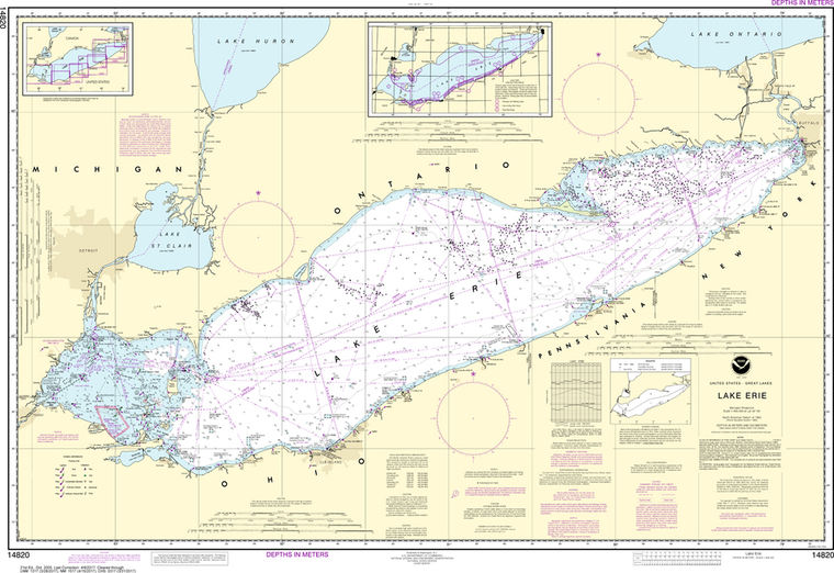
The chart you are viewing is NOT updated weekly and does NOT include all of the latest Notice to Mariners corrections. Region: Great Lakes Latest Edition: 35 Ed. (1-Mar-2013) Last Correction: 30-Nov-2018 Cleared Through: NTM...