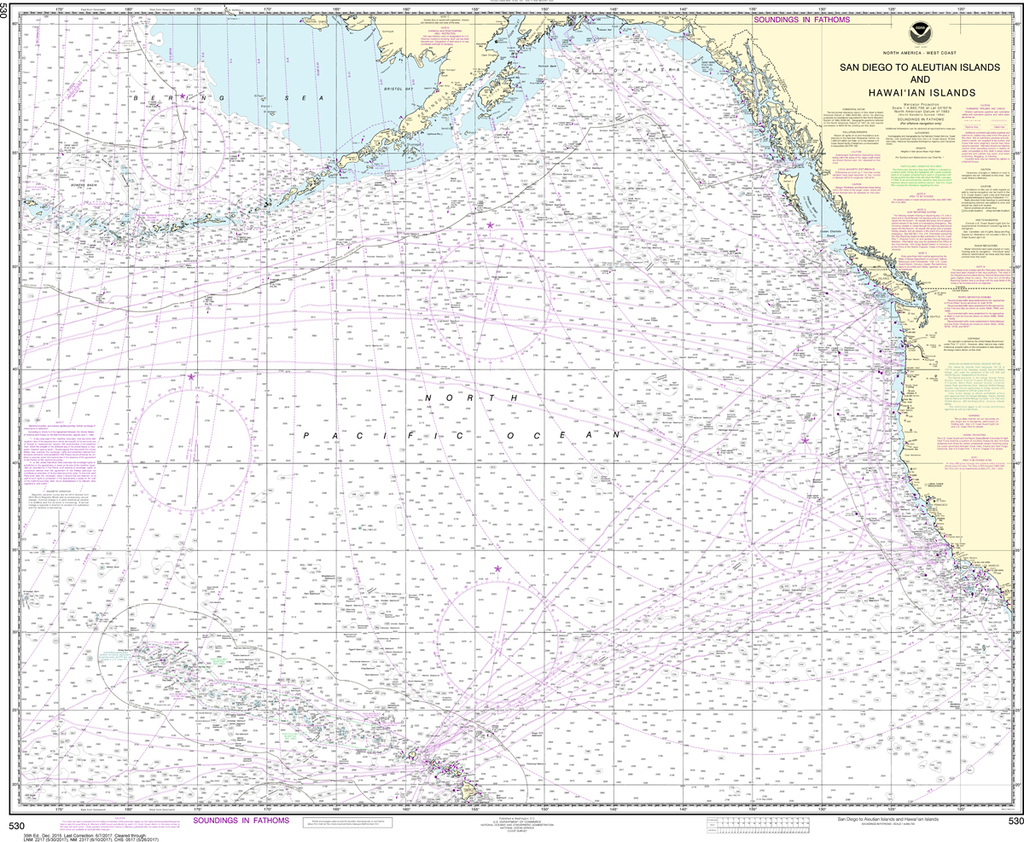
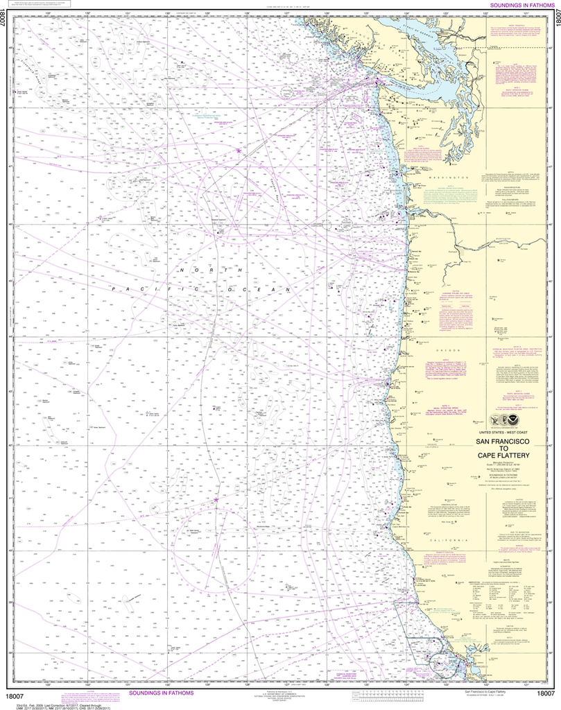
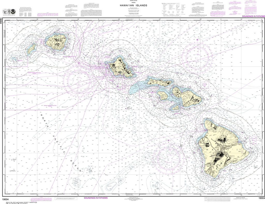
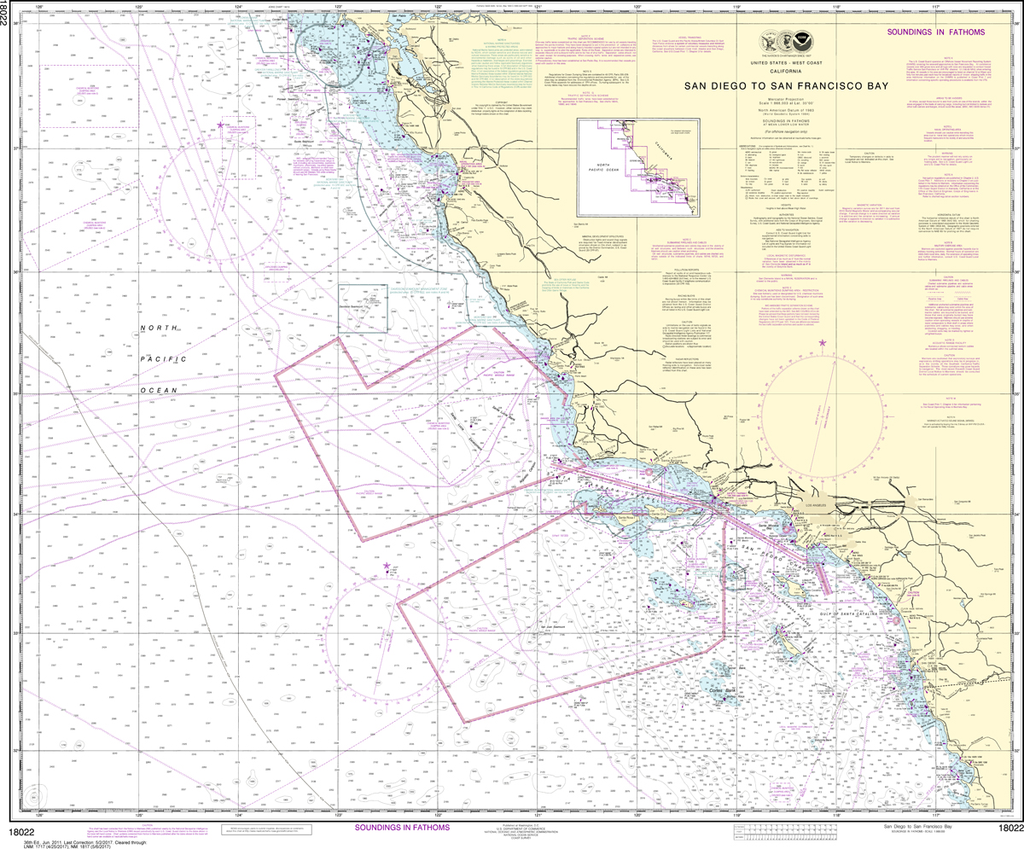
We know there are many questions about NOAA charts, newest editions and charts being cancelled. The U.S. Office of Coast Survey provides an updated list of all chart updates and the ones being cancelled. You can find those here: https://www.charts.noaa.gov/MCD/Dole.shtml
As charts are being cancelled, please know these are now NOT suitable for navigation as the chart is not being updated weekly and does NOT include all of the latest Notice To Mariners
You may not see a certain chart number on our website, but we do print off the "Historical Charts" for our customers. Please email us if you do not see your chart number listed: info@captainsnautical.com
For all historical charts, please use this link: https://historicalcharts.noaa.gov/


