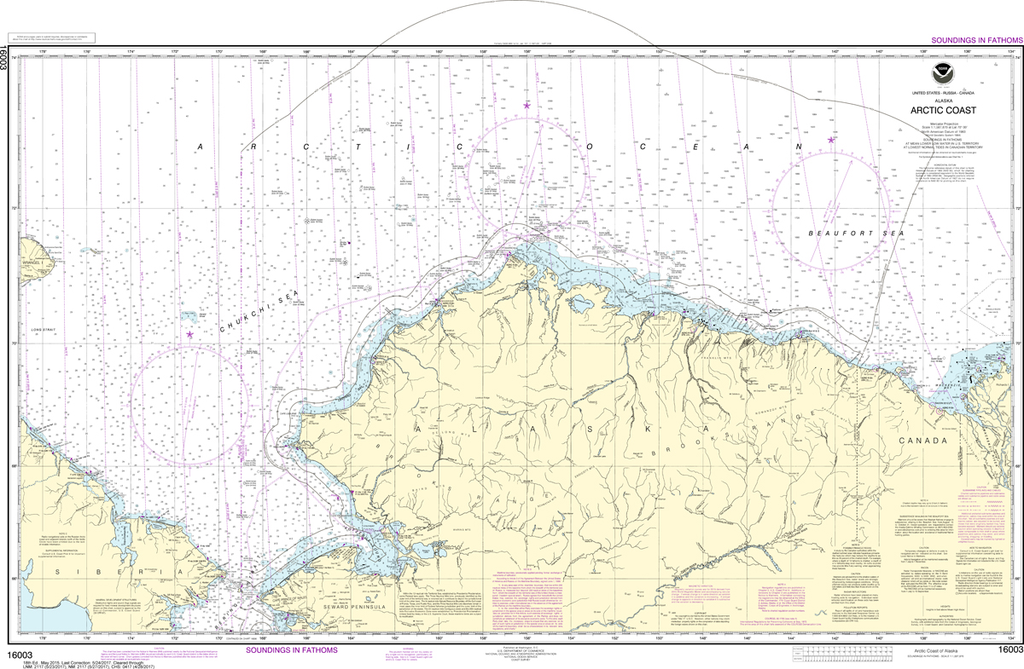
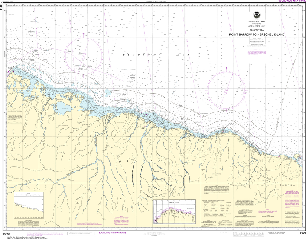
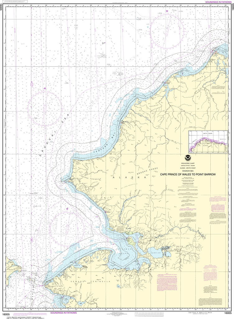
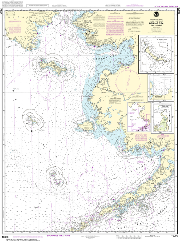
Region: Alaska Coast
Latest Edition: 16 Ed. (1-Dec-2014)
Last Correction: 6-Jun-2018
Cleared Through: NTM 47/2019 (23-Nov-2019)
Paper Size: 44" x 36"
Chart Image Size: 32" x 41"
Scale: 1:40,000
Captain's Nautical Supplies is a Print-on-Demand nautical chart dealer for US Waters. All charts are printed up-to-date and corrected to the latest Notice to Mariners and meet commercial carriage requirements. Charts are printed on high-quality heavy paper with waterproof ink unless otherwise selected.
The chart you are viewing is NOT updated weekly and does NOT include all the of the latest Notice to Mariners corrections.


