Captain's Supplies is the oldest nautical chart dealer in Seattle,
Today, we are Print-On-Demand dealer of up-to-date NOAA Charts, Canadian Charts, and British Admiralty Charts.
We also carry Imray recreational cruising charts, NGA worldwide charts, bathymetric fishing charts,
$29.95
Upper Chesapeake Bay, 4th Edition C&D Canal to the Potomac River. Featuring waypoints for major buoys, courses and distances, and ramp locations and information. Great planning chart. 24 x 36, scale 1:114,000.
$29.95
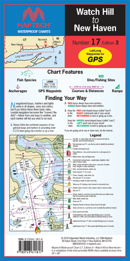
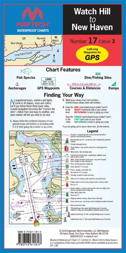
Watch Hill to New Haven, 3rd Edition Watch Hill, RI to New Haven, CT. Featuring waypoints for major buoys, courses and distances, fish/dive sites, and ramp locations and information. 14" x 60", scale 1:53,333 with insets.
$29.95
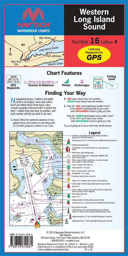
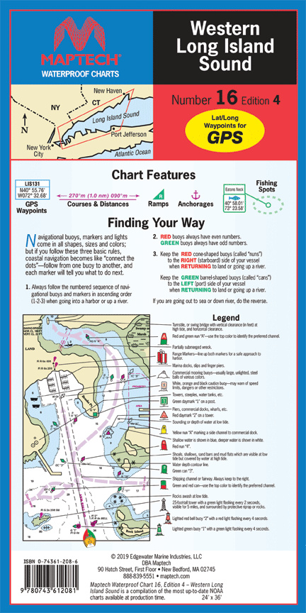
Western Long Island Sound, 4th Edition Throgs Neck, NY to Port Jefferson, NY and New Haven CT. Featuring waypoints for major buoys, courses and distances, fish/dive sites, and ramp locations and information. 24" x 36", scale 1:50,000 with insets.
$29.95
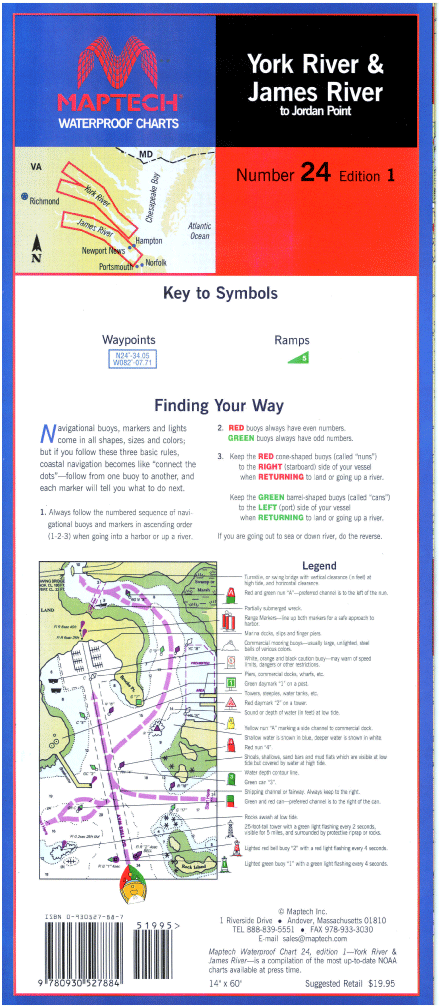
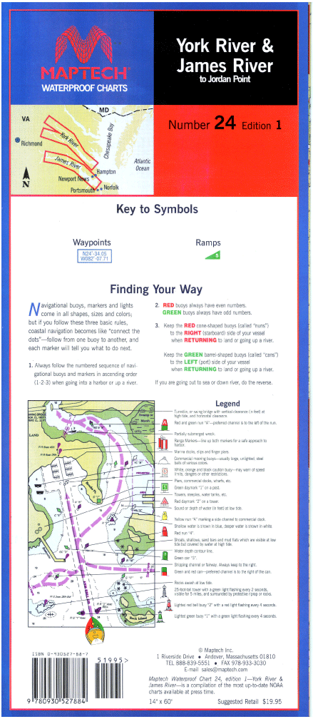
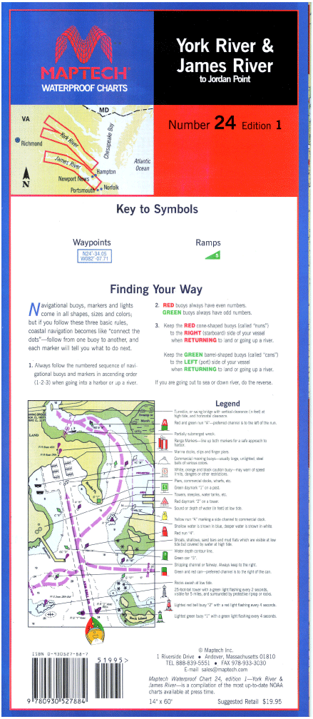
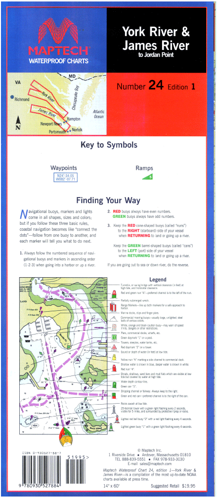
York and James Rivers, 1st Edition York River--Includes Matapony River to Aylett, and Pamunkey River to Newcastle bridges. James River--to Jordan Point. Ramp locations and information. 14" x 60", scale 1:53,333 with insets(1:21,505).