$60.00
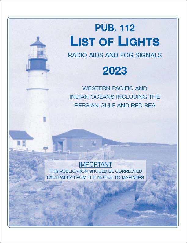
List of Lights 112: Radio Aids and Fog Signals covers the Western Pacific and Indian Oceans Including The Persian Gulf and Red Sea The List of Lights is published in seven volumes and contains lights and other aids to navigation used...
$55.00
2024 Edition List of Lights 113: Radio Aids and Fog Signals covers the west coasts of Europe and Africa, the Mediterranean Sea, the Black Sea, and Azovskoye More (the Sea of Azov). The List of Lights is published in seven...
$45.00
2024 Edition Out Now List of Lights 114: Radio Aids and Fog Signals covers the British Isles, the English Channel, and the North Sea. The List of Lights is published in seven volumes and contains lights and other aids to...
$46.00
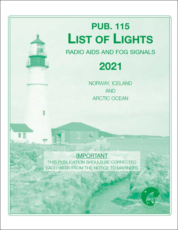
2024 Edition Out Now List of Lights 115: Radio Aids and Fog Signals covers Norway, Iceland, and the Arctic Ocean from the west coast of Iceland, across the northern coast of Asia, to the Bering Strait. The List of...
$45.00
List of Lights 116: Radio Aids and Fog Signals covers the Baltic Sea with Kattegat, the Belts and Sound, and the Gulf of Bothnia. The List of Lights is published in seven volumes and contains lights and other aids to...
$45.00
Sailing Directions 127 (Enroute) covers the East Coast of Australia and New Zealand from the Torres Strait and Cape York between the southernmost tip of Australia and Papua New Guinea to Tasmania, including the Kermadac Islands and Macquarie Island. It...
$45.00
The Radar Navigation and Maneuvering Board Manual, compiled by the Maritime Safety Information Center, is an instruction handbook for navigation schools as well as naval and merchant marine personnel. [ISBN: 1-57785-248-6]
$50.00
Sailing Directions 142 (Enroute) covers Ireland and the West Coast of England from Mizen Head to Malin Head to the English Channel, including the Irish Sea. It is issued for use in conjunction with Sailing Directions 140 (Planning Guide) North...
$50.00
Sailing Directions 143 (Enroute) covers the West Coast of Europe and Northwest Africa from the Bay of Biscay in France to the Banana Islands and Cape Palmas off the west coast of Africa. It is issued for use in conjunction...
$50.00
2022 Sailing Directions 154 (Enroute) (16th Edition) covers British Columbia from the Strait of Juan de Fuca, through the Hecate Strait, to the southern border of Alaska. It is issued for use in conjunction with Sailing Directions 120 (Planning Guide)...
$50.00
(20th Edition). 2022 Sailing Directions 157 (Enroute) covers the Coasts of Korea and China from the northern coast of North Korea, around South Korea, through the Yellow Sea, to Guangzhou in Southeast China. It is issued for use in conjunction...
$50.00
(19th Edition). 2024 Sailing Directions 158 (Enroute) covers Japan from the coast of Hokkaido and Honshu to the Ryukyu Islands, Nanpo, and Shoto. It is issued for use in conjunction with Sailing Directions 120 (Planning Guide) Pacific Ocean and Southeast...
$40.00
(15th Edition), 2022 Sailing Directions 173 (Enroute) covers India and the Bay of Bengal from the Gulf of Kutch in Pakistan to Ko Phuket in Thailand, including the Maldive Islands, Sri Lanka, and the Nicobar Islands. It is issued for...
$50.00
(14th Edition.) 2022 Sailing Directions 175 (Enroute) covers the North, West, and South coasts of Australia from Cape York to Cape Northumberland, including the Great Australian Bight and Kangaroo Island. It is issued for use in conjunction with Sailing Directions...
$40.00
(20th Edition), 2022 Sailing Directions 191 (Enroute) covers the English Channel from Scilly Isles and Ile D
$45.00
North Sea (Enroute) 17th Edition- Sailing Directions are published to cover the harbors, coasts, and waters of the world. Each publication is divided into geographic areas called sectors and includes detailed coastal and port approach information which supplements the largest...
$47.00
Latitudes 0[ISBN: 1-57785-192-7]
$47.00
Latitudes 15 [ISBN: 1-57785-193-5]
$47.00
Latitudes 30[ISBN: 1-57785-194-3]
$47.00
Latitudes 45[ISBN: 1-57785-234-6]
$47.00
Latitudes 60[ISBN: 1-57785-235-4]
$47.00
Latitudes 75[ISBN: 1-57785-236-2]
$52.00
List of Lights 110: Radio Aids and Fog Signals covers Greenland, the East Coasts of North and South America (excluding continental U.S.A. except the east coast of Florida) and the West Indies. The List of Lights is published in seven...
$40.00
2024 Sailing Directions 153 (Enroute) (19th Edition) covers the west coasts of Mexico and Central America from the coasts of Baja California to the coast of Panama. It is issued for using in conjunction with Sailing Directions 120 (Planning Guide)...